The Los Angeles issue
The Hills Are Alive: Hiking Los Angeles, from Griffith to the Backbone Trail
An honest, closure-checked 2026 guide to the trails Angelenos actually walk — from a 7am canyon above Hollywood to a 67-mile mountain spine and the waterfalls that only run after rain.
By Tobias LindqvistThe city on foot and by Metro
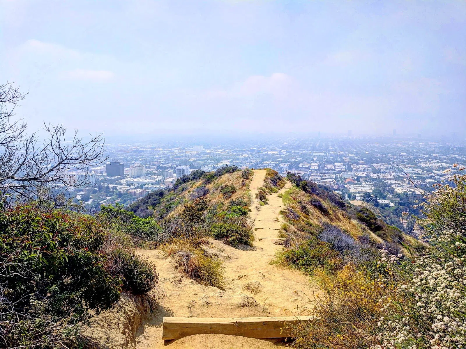
Los Angeles is remembered as freeways and flatness, which is mostly a trick of the maps people carry away from it. The city sits in a wide basin creased and ringed by mountains, and from almost any neighbourhood a trailhead is a short ride away — Griffith Park alone threads 53 miles of them through its ridges. This is the version of the city that residents actually walk, before work and once the heat has lifted, and it costs close to nothing to join them.
Where Hollywood hikes: Runyon and the back of the Sign
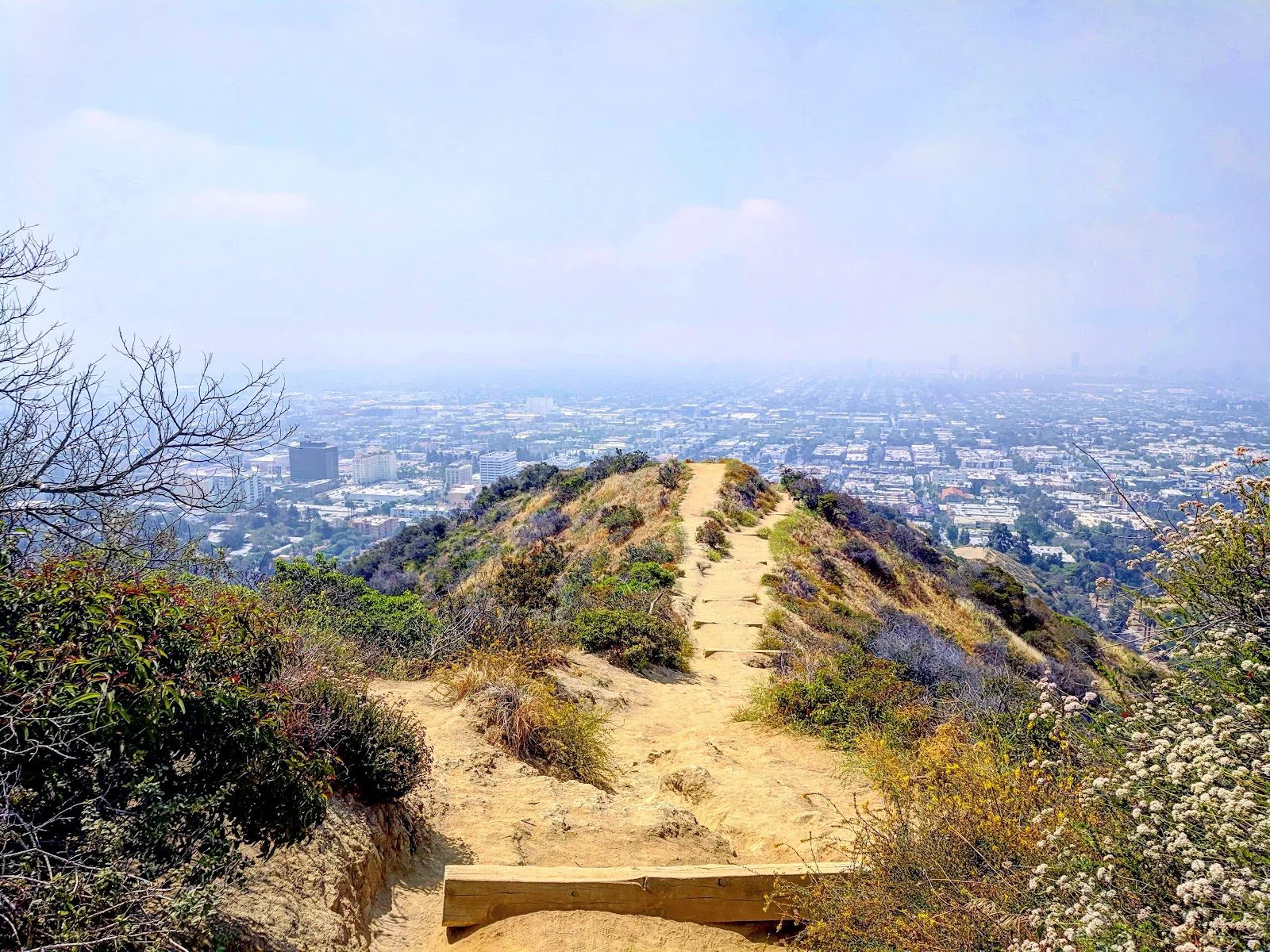
If you have one morning and no car, start at Runyon Canyon Park in the Hollywood Hills. It is free and gateless — the closest thing the city has to a public square that happens to go uphill — and the loop is short and steep. The reputation for 7am industry conversations is earned rather than invented; this is as much a social scene as a hike, so come for the ridge and the people-watching, not for solitude. Arrive early anyway: for the light, for parking on the residential streets below, and to beat the sun on a slope with almost no shade. One note for 2026 — the West Trail is temporarily closed, so take the East Trail, which climbs to the same views. Groups are fine on the main loop, and couples wanting a quiet walk should look elsewhere on this list. It is also the rare hike here you can reach on foot or by bus from central Hollywood, which counts for a lot.
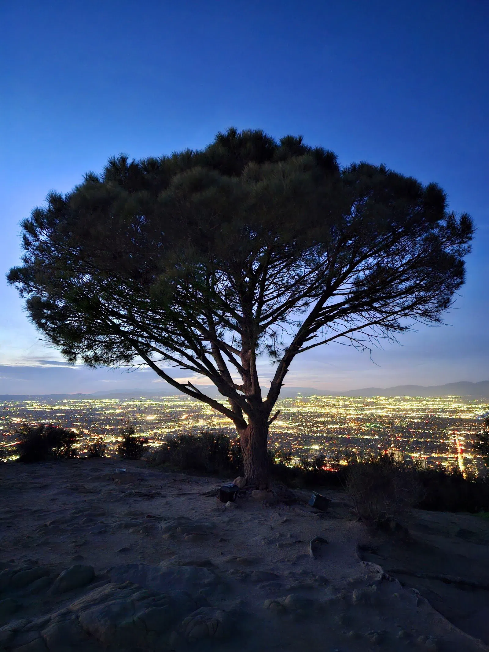
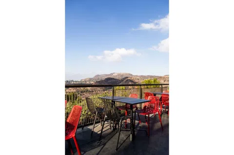
A harder, quieter approach to the Hollywood Sign sits just west. The Wisdom Tree & Cahuenga Peak trail, above Lake Hollywood, climbs to a lone pine that survived a 2007 fire and now shelters a weatherproof box of visitor notebooks; people have been signing them for years, and reading a few is part of the pilgrimage. From the tree the path runs along the ridge to the back of the Sign. It is steep, shadeless, and a genuine scramble in places — small groups manage it, but families with young children will not enjoy the exposure. Roadside parking on the Lake Hollywood streets is tight and enforced, so arrive early or share a ride. This is the most characterful way to the Sign, and the least forgiving.
Plan your Los Angeles trip
Live prices from our booking partners.
Free cancellation on many rooms. We may earn a commission when you book.
Waterfalls, and when they actually run
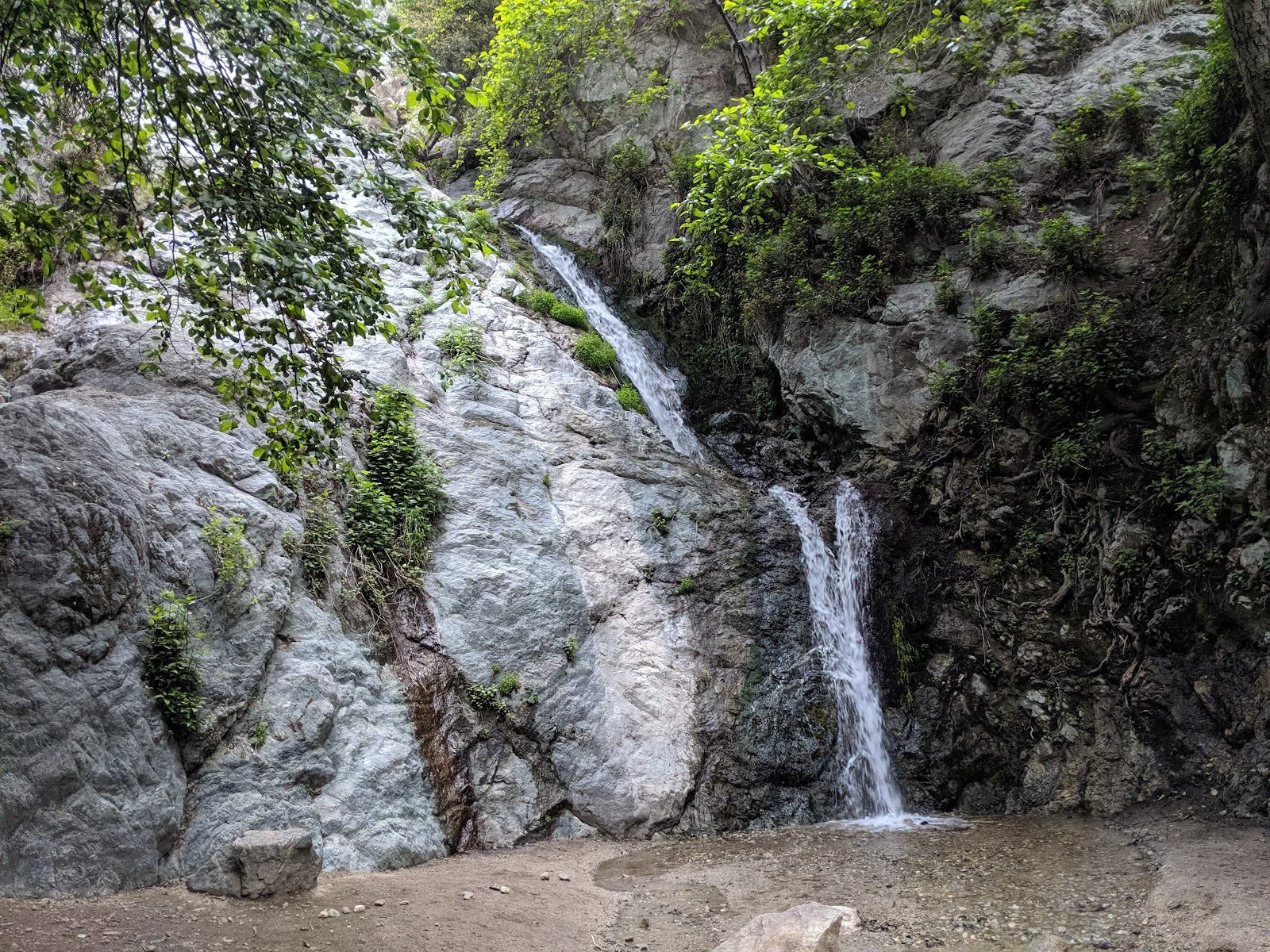
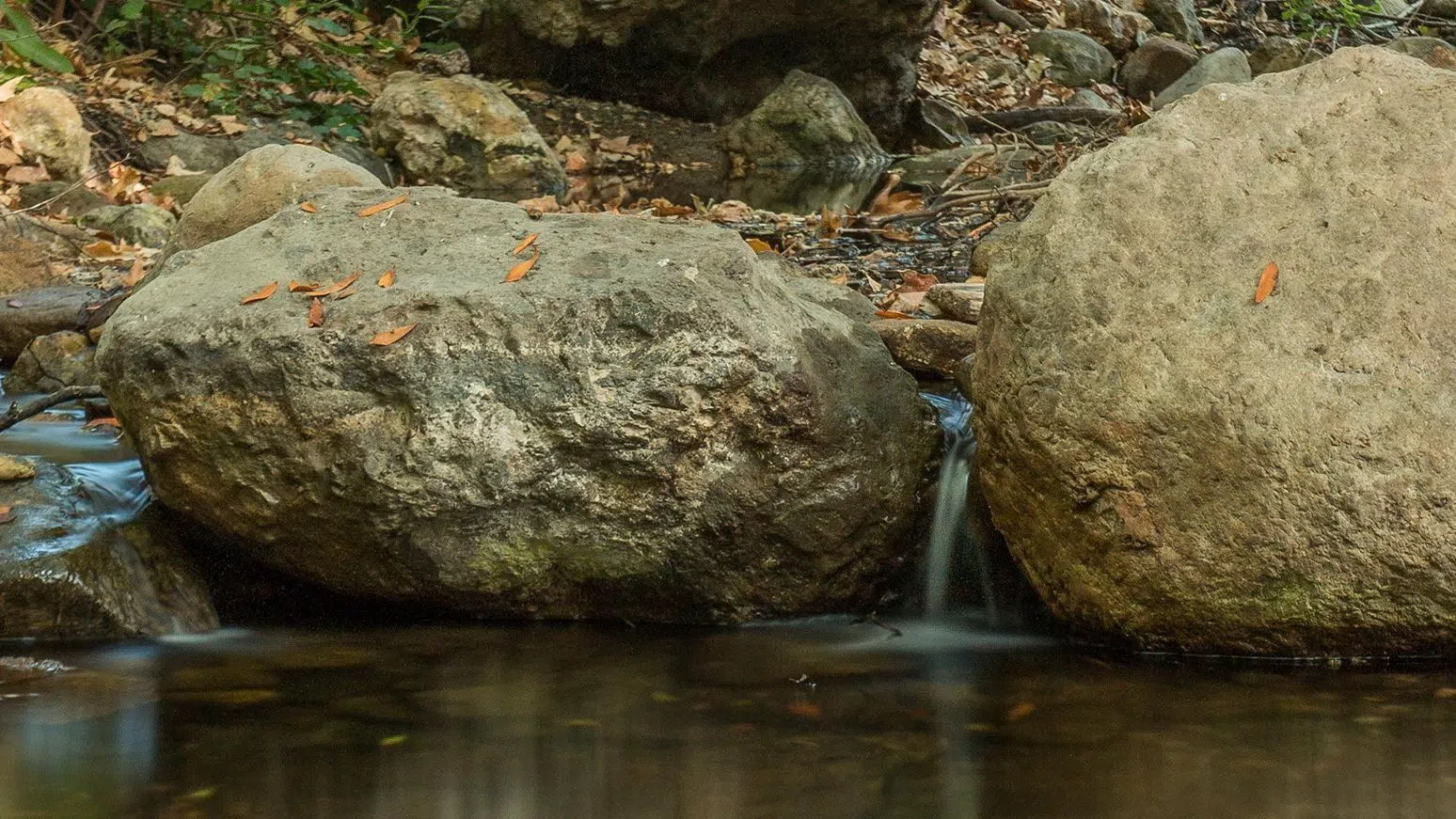
Southern California's waterfalls are seasonal creatures. They run hardest in the weeks after winter rain and thin out by late summer, so read the calendar before you drive. The most dependable is Monrovia Canyon Park — Falls Trail, in the foothills east of the city, a gentle 1.6-mile round trip to a fall that holds water year-round. It reopened in June 2025 after a fire closure and has become the reliable choice now that the falls at Eaton Canyon are shut to visitors until 2027. Entry is by reservation with a parking fee of around $5, and weekend permits cap numbers, so book ahead if you are walking as a group. The short distance and easy grade make it a good family outing.
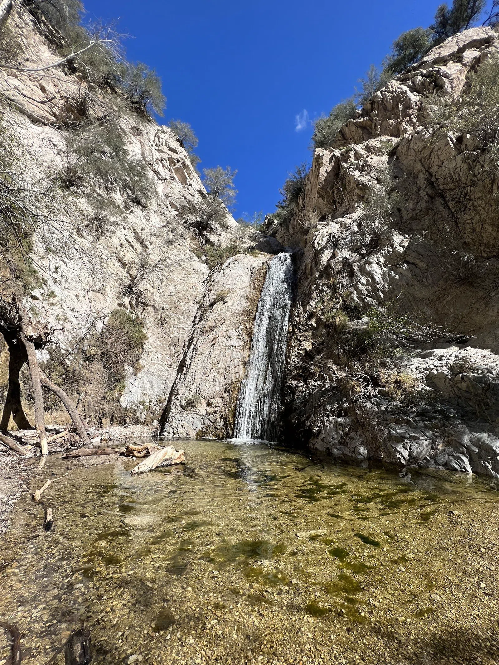
Up in the Angeles National Forest, twenty minutes above La Cañada, Switzer Falls is the shaded classic — a 3.6-mile creekside out-and-back that feels a long way from any freeway. You will want an Adventure Pass to park (around $5), and the lot fills on weekends, so a weekday morning is calmer. Groups are welcome; the creek crossings make it an unhurried walk rather than a workout, though children will need a hand at the water.
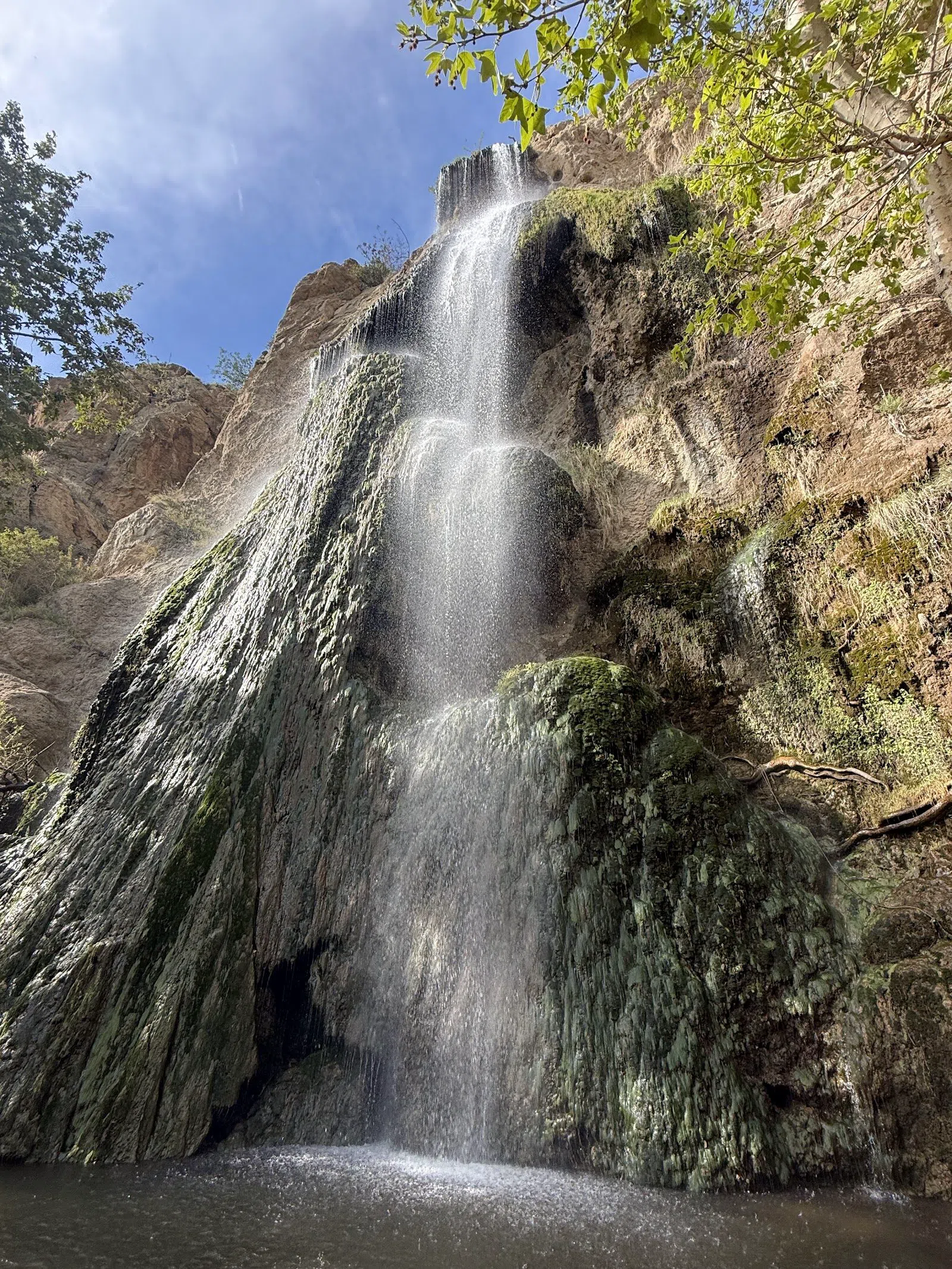
Two more waterfalls sit out toward the coast, in the Santa Monica Mountains. Escondido Falls, reached from the Pacific Coast Highway, is a flat and easy 4-mile round trip to the tallest fall in these mountains — best after winter rain, and worth knowing that the upper 150-foot tier stands on private land and is off-limits, so the lower fall is the honest destination. The trailhead lot off the highway is small; arrive early. Nearby, Solstice Canyon in Malibu is the gentlest reward-hike of the lot: a level 2.6-mile loop past the stone ruins of the old Roberts Ranch house to a hidden fall, walkable in flip-flops and genuinely suited to mixed-ability groups and families. Its small lot fills by 9am, so carpool or come early. Neither of these needs a permit, which makes them easy to string into a coastal day.
Into the Santa Monica Mountains: the Backbone Trail
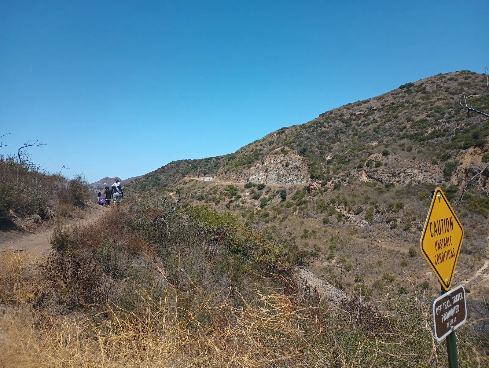
The spine of LA hiking is the Backbone Trail, a 67-mile National Park Service route that runs the length of the Santa Monica Mountains from the sea toward the inland peaks. Almost nobody should attempt it in one push; it is built to be walked as day sections, and that is how locals treat it — the Ray Miller and Mishe Mokwa stretches are the usual starting points. One honest caveat for 2026: the eastern third, from Will Rogers to Hub Junction and across Chicken Ridge, remains closed after the Palisades Fire, so plan around the open middle and western sections and check current status before you set out. Groups are welcome along its length.
The section most worth a half-day is the loop to Sandstone Peak via the Mishe Mokwa Trail, the high point of the Santa Monica Mountains at 3,111 feet. It is a 6-mile loop with dramatic rock scenery and, on clear days, views out to the Channel Islands — quieter than anything on the Hollywood side, and better for it. This one asks for fitness and suits fit groups rather than casual walkers; the trailhead parking is roadside and limited, which naturally keeps numbers down. Bring water and sun cover, because shade is scarce once you are on the ridge.
Quiet green: parks and the city's secret stairs
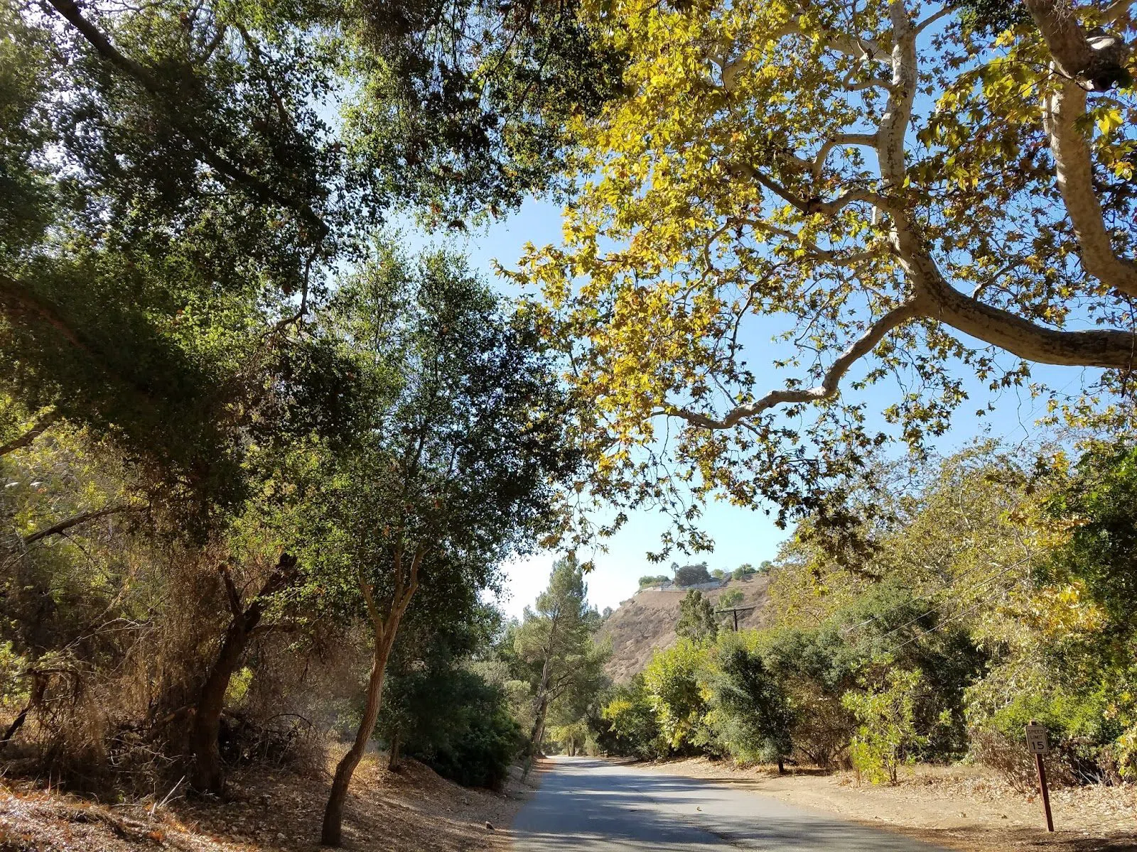
Not every hike needs a summit. Franklin Canyon Park, tucked improbably between Beverly Hills and the San Fernando Valley, holds more than five miles of easy trail, a lake, and a nature centre, with parking that is free and crowds that rarely materialise. Film history lingers here — the lake stood in for the whistling opening of an old television show, and people still come to find the spot. Both gates reopened after road repairs earlier in 2026. The gentle grades make it one of the better choices for families and larger groups who want green over gradient, and it is calm enough for a couple to walk and talk.
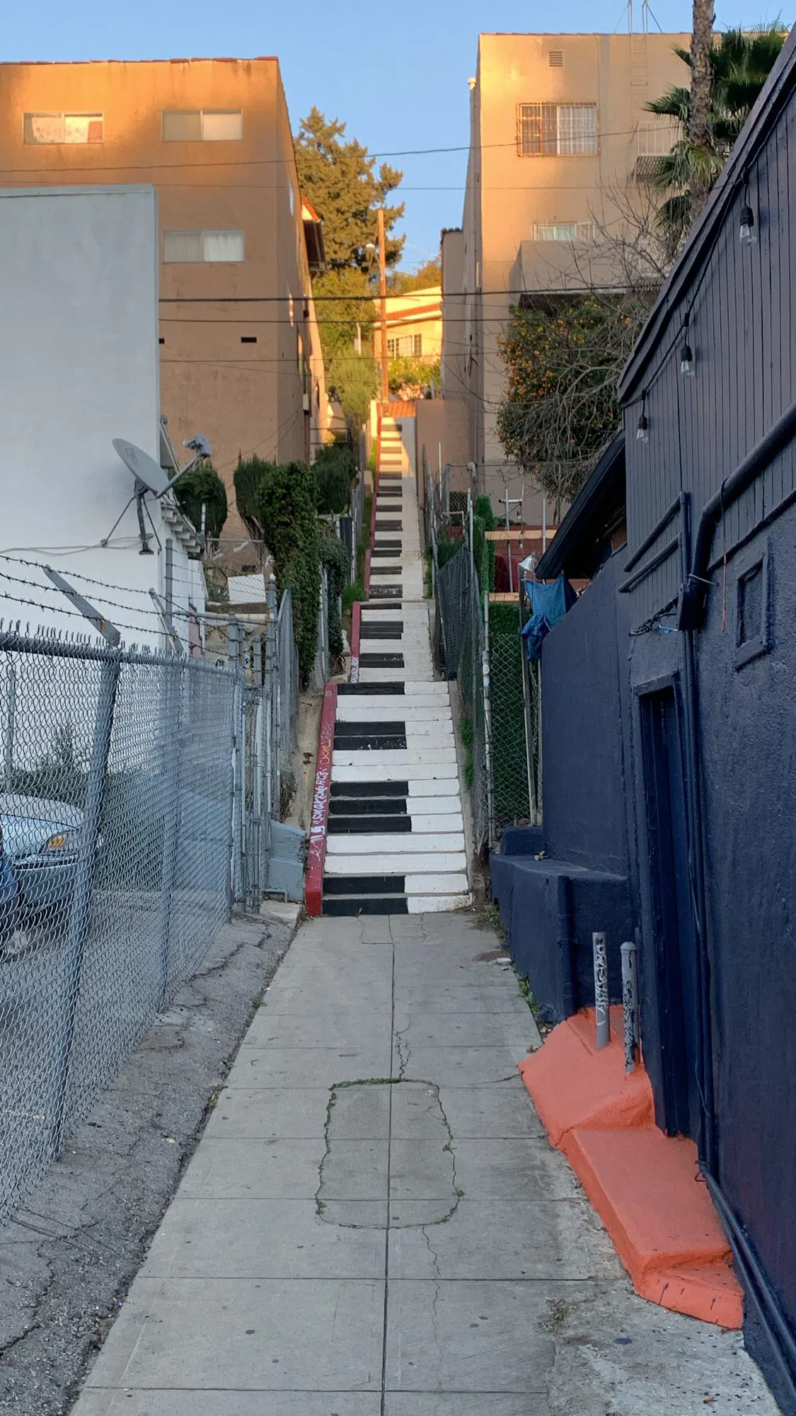
For something stranger and entirely walkable, spend a half-day on the Silver Lake & Echo Park Secret Stairs, the WPA-era public staircases that stitch the eastside hillsides together. These were built as neighbourhood shortcuts in the 1920s and 1930s, and they remain fully public rights-of-way — you can string them into a flat-shoe route using the "Secret Stairs" guidebook (revised in January 2026) or join a small walking tour, which runs roughly $30–60. One courtesy matters more than fitness here: the stairs pass directly beside people's front doors, so keep groups small and quiet. It is the closest thing to a history walk on this list, and no car is required once you are in the neighbourhood.
Going bigger: the summit and the desert
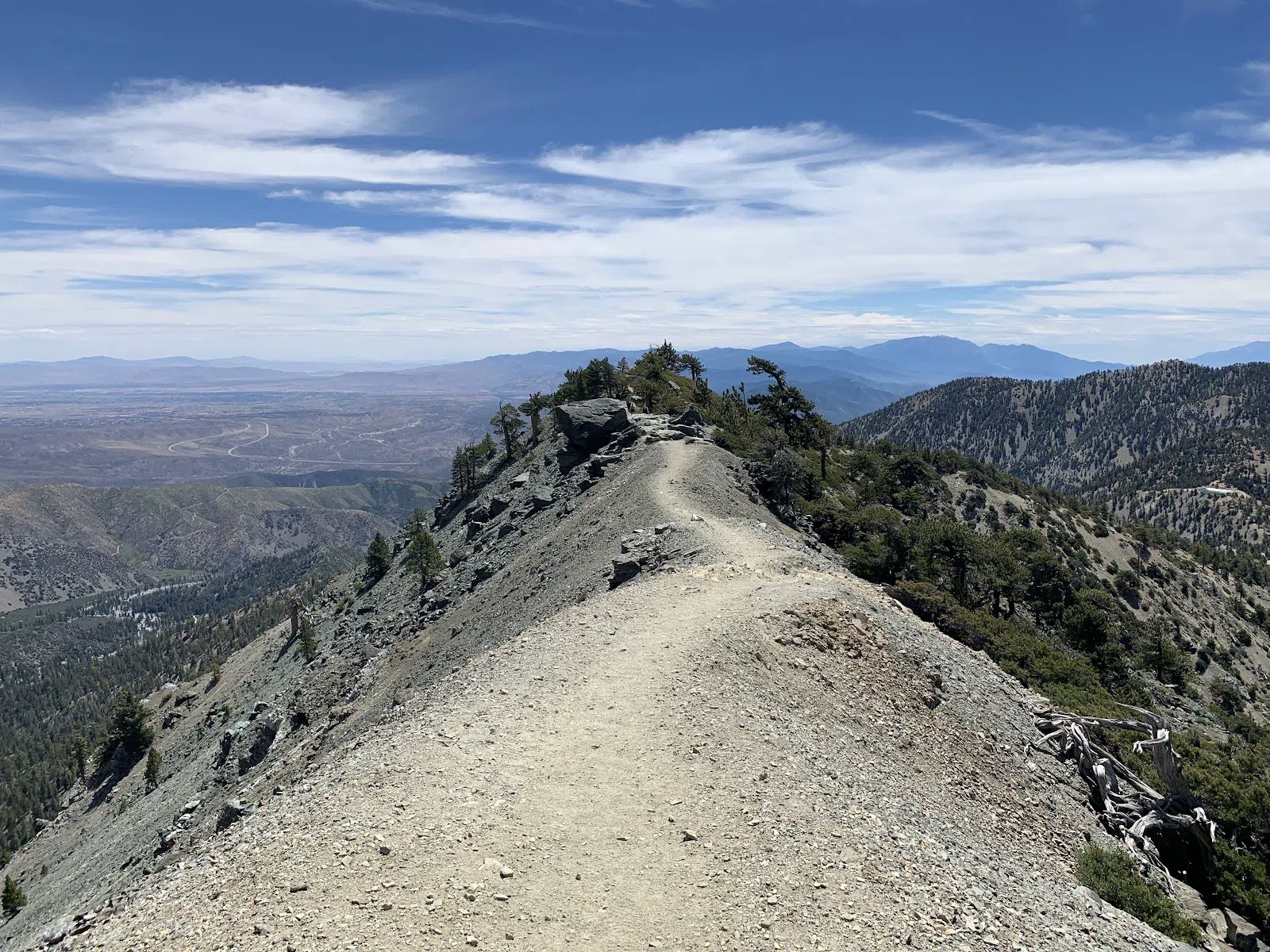
Two trips reward a full day and a longer drive. Mount Baldy (Mount San Antonio), the highest summit you can reach from the city, is a real 6,000-foot mountain day rather than a walk — from the top you can take in desert and sea in a single turn. The Forest Service trails are free to hike, with an Adventure Pass (around $5) to park. Its seasonal snow closure ran through 20 March 2026, so it is open for the summer; in winter and spring this is serious ground that requires crampons and an ice axe, and it should be left to experienced parties who carry them. Do not treat it as a scaled-up canyon hike, and do not bring a group that is not ready for altitude and distance.
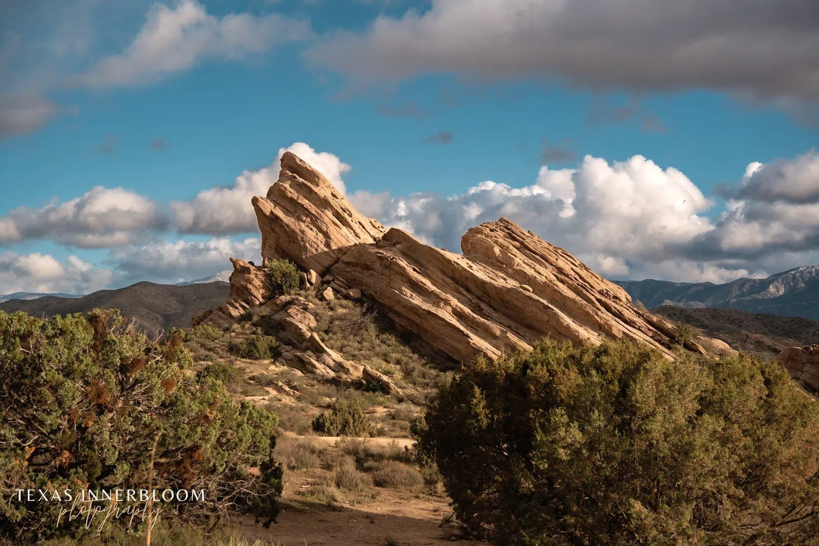
An hour north, in the high desert, Vasquez Rocks Natural Area trades altitude for spectacle: tilted slabs of sandstone you will recognise from decades of film and television, from Star Trek to Blazing Saddles. The scramble is short, the interpretive centre is worth a look, and with ample parking and a group campground this is the most family- and group-friendly outing on the list. It is a free LA County park, which for its size and strangeness is a fair deal. Pair it with the wider Los Angeles guide if you are building a longer itinerary around the northern edge of the county.
Practical notes
Getting there: a few of these are transit-reachable — Runyon Canyon and the Silver Lake and Echo Park stairs can be done by bus and on foot — but most trailheads realistically need a car or a rideshare, and the desert and mountain trips are firmly car journeys. Where a canyon lot is small, arrive before 9am or carpool; several fill early.
Cash and fees: bring a little for parking. Forest trailheads such as Switzer Falls and Mount Baldy want an Adventure Pass at around $5; Monrovia Canyon charges roughly $5 plus a reservation; a handful of coastal lots are small and paid. Cards work in most places, but a few dollars in cash saves trouble. The trails themselves are free.
Timing: hike early. Mornings are cooler, lots are emptier, and the light is better. Chase waterfalls in late winter and spring after rain; summer thins them to a trickle. Check closures before you commit — the Backbone Trail's eastern third, Runyon's West Trail, and seasonal snow on Mount Baldy are all live constraints in 2026.
Where to stay: base yourself for access rather than postcode. Central Hollywood puts Runyon and the Sign hikes within reach, while a westside or coastal base shortens the drive to Malibu's canyons and the Santa Monica Mountains. Compare options on the Los Angeles hotel search. Whichever hills you choose, go early, carry water, and let the closures — not the map — decide your route.
Before you go
Do I need a car to hike in Los Angeles?
For most trails, yes. Runyon Canyon and the Silver Lake and Echo Park secret stairs are reachable by bus and on foot, but the majority of trailheads — and especially the mountain and desert trips like Mount Baldy and Vasquez Rocks — realistically need a car or a rideshare.
When do the waterfalls actually flow?
Southern California waterfalls run hardest in the weeks after winter rain and thin out by late summer. Late winter and spring are the reliable windows. Monrovia Canyon's fall holds water year-round, making it the safest bet if you are visiting outside the rainy season.
Which hikes are best for groups or families?
Solstice Canyon, Franklin Canyon Park, Monrovia Canyon and Vasquez Rocks all have gentle grades and suit families and larger groups. Sandstone Peak and Mount Baldy are for fit, experienced parties, and the Wisdom Tree scramble is too steep and exposed for young children.
Is Mount Baldy safe to hike right now?
In summer 2026 it is open, after its seasonal snow closure ended on 20 March 2026. It is a genuine 6,000-foot mountain day for experienced hikers. In winter and spring it demands crampons and an ice axe and should not be attempted without them.
How do I hike to the back of the Hollywood Sign?
The most characterful route is the Wisdom Tree and Cahuenga Peak trail above Lake Hollywood, which climbs past a fire-surviving pine to the ridge behind the Sign. It is steep and shadeless with tight roadside parking, so start early or share a ride.